Dash & Dot: 4 Regions of California Project (Gr. 3-5)

Description
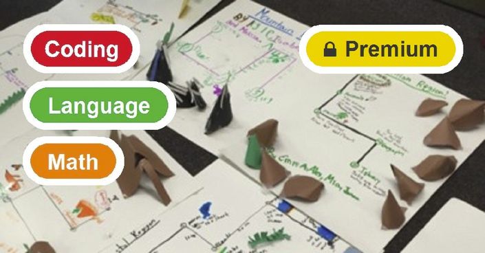
Students will work in groups of 3 - 4 students create a 2D and 3D map of their california region. They will program their robots to give tours of their region, clearly stating important facts relating to their region's plants, animals, geography, and industry.
Objectives
-
Collaboratively research and create a map of their region
-
Record important facts relating to their region's plants, animals, geography, and industry
-
Creatively draw and create 3D aspects of their map
-
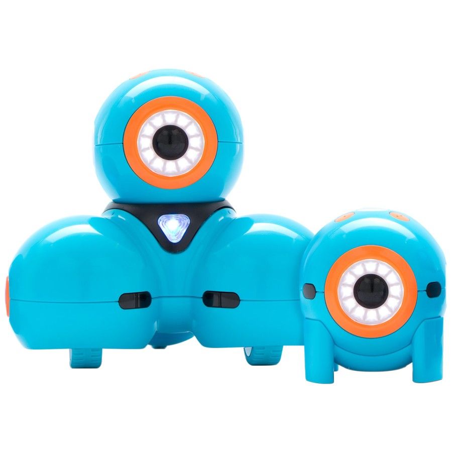
Program Dash to give a tour of their region, using movement, sound, and lights
Lesson Procedure
- Class 1: Research (60 minutes)
- Class 2: Driving Dash (60 minutes)
- Class 3: Map Making (60 minutes)
- Class 4: Programming (60 minutes)
- Class 5: Presentations & Extensions
Curriculum Connections Summary
- Ontario - Mathematics - Algebra (Coding), Science, Social Studies & Language
- Quebec - Science & Social Studies
- New Brunswick - Science
- Nova Scotia - Science & ICT
- Alberta - Science, Social Studies, Language & ICT
- British Columbia - Science, Language & ADST
- Manitoba - Science & Social Studies
- Prince Edward Island - Science
- Saskatchewan - Science
- Newfoundland & Labrador - Science
- Yukon Territories - Follow's B.C.'s Curriculum
- Northwest Territories - Follows Alberta's Curriculum
- Nunavut - Follows Alberta's Curriculum
Robots and Accessories

Other Supplies
- graph paper
- 2 pencils
- poster board
- 2 rulers with cm
- markers
- masking or scotch tape
- construction paper
- Tablets - (See Compatible Devices)
Find Out More
Open their eyes to how the world works, coding ideas into adventures.
- Buy Dash and Dot
- Free Apps for Apple and Android
- Tablet Compatibility
- View All Lessons
- Subscribe for Premium Co-Curricular Lessons
- Start a Robotics Coding Club
- Register for the Worldwide Robotics Competition